
Bambang Edhi Leksono S.
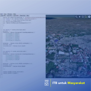
Community needs for land use are increasingly widespread and dynamic. Spatial planning which takes into account several aspects such as the number of parcels available (2D), vertical space (3D) and time-related data ownership (3D + time or 4D) is needed. One of the land disputes can occur because of a disaster. Then the land was rebuilt so that, as before, and it lead to land disputes. There was a cycle between the disaster and development, the methodology to solve those problems. The goal of this research is to elaborate information system of 4D Cadastre to facilitate and explain the digital results of legal property law who owns land certificate or in specific of an owner of apartment. Using 3D model data from Orthophoto and Cesiumjs are expected to show 3D including position and height (x, y, z) and time (t) in the application or website. The land data will be recorded in a system, thus can be used as an archive of the history of ownership and can be used to simulate the lost data or add spatial planning in the future.
Penerapan Teknologi Tepat Guna, Penerapa Karya Seni/Desain/Arsitektur/Perencanaan Wilayah, Penerapan Karya Tulis
Community needs for land use are increasingly widespread and dynamic.