
I Gusti Bagus Eddy Sucipta
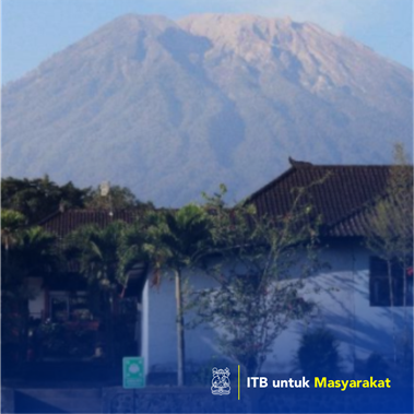
We propose community service activities to improve the community's ability to respond to eruptions. We chose a school institution as our partner because they are familiar with the educational process so the program is better delivered. In addition, there are quite a lot of school elements such as teachers, students, and the school management committee so the resulting impact can be broader for the surrounding community. The criteria for selecting locations are based on the direct impact of the eruption of Mount Agung so the school in the most vulnerable area and closest to Mount Agung’s peak are used in determining school partners. SMP Negeri (junior high school) 3 Bebandem is located on the southeast flank of Mount Agung, in Bebandem, Karangasem, Bali, was selected as a partner school. This school is located in a radius of > 7.5 km from the peak of Mount Agung and is included in the disaster-prone area II, an area that is potentially affected by lahar and lava flows from the eruption of Mount Agung The purpose of this community service activity is to improve the community's ability to respond to the impacts of volcanic eruptions by creating an SSB (Sekolah Siaga Bencana) system as well as continuous assistance. Community service in this school is the third phase activity which includes assistance in the form of workshops, additional disaster preparedness infrastructure (evacuation route signs and audible alarm), socialization, simulation of eruption hazard events, and involving other schools around the partner school
Penerapan Karya Tulis, Pelaksanaan Kegiatan Kepedulian Sosial berupa pendidikan/penyuluhan/pendampingan
On 22 September 2017 at 20.30 WITA, the Center for Volcanology and Geological Disaster Mitigation (PVMBG) has raised the status of Mount Agung on the island of Bali from level III to level IV, the highest level (Awas). There have been 3 magmatic eruptions with an eruption column up to 4 km and 53,207 people in the volcanic risk zone have to be evacuated. Currently, Mount Agung's activity status is at level III with the radius of the volcanic risk zone is 4 km from the summit and has the potential of a bigger eruption. To mitigate the impacts of the volcanic eruptions, escalating the community's ability to respond to eruptions (vulnerability) and the capacity of the existing space (coping capacity) are a must.