
Asep Saepuloh
Analysis of risk and hazard assessment to active volcanoes near the cities are crucial for disaster management. The risk and hazard assessment provides information for decision makers and communities before, during and after volcanic crisis. The rapid and accurate risk and hazard assessment, especially to an active volcano near city is necessary to be developed for better mitigation on the time of volcanic crises happened in Indonesia. In this research, we presented the risk and hazard assessment approach at Guntur volcano, Garut District, West Java, Indonesia based on remotely sensed data and community surveys. Since the natural tourism of Guntur volcano in Garut city is growing rapidly, the risk potential at and near the hazard zone must be high. Therefore, the quantification of the risk presented by risk map should be important for government, private, and community. The risk assessment of Guntur Volcano is a function of hazard potential of the volcano, vulnerability and coping capacity of the people living around the volcano. To quantify the hazard potential of Guntur volcano we applied an Index Overlay Technique termed as IOT to calculate the hazard map. There were four hazard parameters identified: vegetation density, surface brightness temperature, slope topography, and volcanic products including pyroclastic and lava deposits Following the IOT, the hazard parameters were processed, indexed and calculated to produce spatial hazard values at and around Guntur Volcano. Based on the IOT method, we found that the hazard potential of low vegetation density is higher than high vegetation density. Furthermore, the high surface temperature, slope topography and fragmental volcanic product such as pyroclastics influenced to the spatial hazard value significantly. Obtaining the vulnerability and coping capacity, we did community surveys to Garut City. We collected 129 samples based on gridded survey with lag distance every 1 km. The questioner based surveys were performed with the object is people in Garut City. The purpose of the survey is to collect the information about understanding of community to response when hazard occurs. There are 4 topic questions raised including general understanding of the hazard of Guntur Volcano, Hazard and Mitigation institutions, infrastructure, and early warning system at Garut City. Then, the questions are quantified into number for spatial risk calculation.
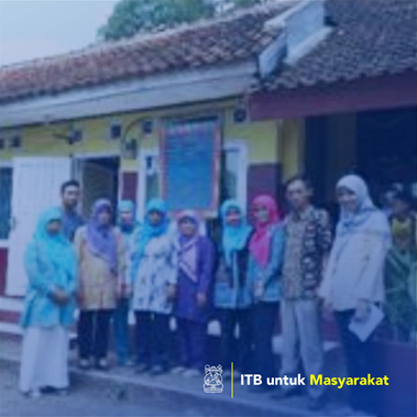
Pelaksanaan Kegiatan Kepedulian Sosial berupa pendidikan/penyuluhan/pendampingan, Penanganan Darurat Bencana
The rapid and accurate risk and hazard assessment, especially to an active volcano near city is necessary to be developed for better mitigation on the time of volcanic crises happened in Indonesia. The risk and hazard assessment approach at Guntur volcano, Garut District, West Java, Indonesia based on remotely sensed data and community surveys. Since the natural tourism of Guntur volcano in Garut city is growing rapidly, the risk potential at and near the hazard zone must be high.